
A megaproject that needed faster, repeatable site capture
In the United Kingdom, the joint venture Balfour Beatty VINCI used drone mapping to modernize surveying on the High Speed 2 (HS2) development. Their core problem was not whether drones could make a map, it was whether they could standardize capture across a complex, evolving construction environment while keeping crews safe and productive.
Recommended hardware for this workflow

DJI Mavic 3E | Enterprise Survey Drone
Fast deployment mapping drone for large sites. Efficient coverage, strong mapping workflow.
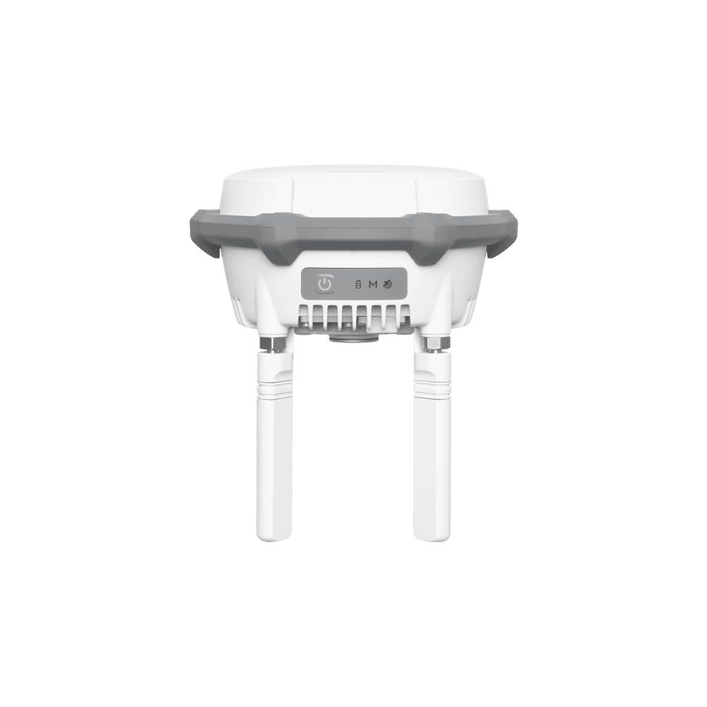
DJI D-RTK 3 Module Enterprise
Where accuracy and repeatability becomes real for teams working outside reliable RTK networks.
Before drones, progress documentation and earthworks verification relied heavily on ground methods and manual site movement, which becomes slow, risky, and inconsistent when a site expands and changes daily. The major challenge was throughput. They needed a workflow that could be repeated frequently without turning "surveying day" into a disruption for the rest of the project.
When they adopted drones, the first operational challenge was consistency, not flight. They had to define a standard mission pattern, a repeatable control strategy, and a processing pipeline that produced the same outputs every time, even when conditions changed. They solved this by standardizing flight planning, tightening their control approach, and shifting toward an enterprise workflow that reduced friction for pilots and for downstream teams consuming the data.
Technical Stack
- • RTK-capable mapping drone, automated grid missions, repeatable flight parameters
- • Processing to orthomosaic and surface models, then volume, progress, and change detection
- • Delivery into CAD or GIS, and into weekly reporting
Read Full Story
The HS2 story reports meaningful reductions in time and labor when drones became part of the standard process, rather than an occasional experiment. The team emphasized that operational discipline matters more than raw technology. By creating a standard mission pattern and control strategy, they transformed drone mapping from a specialty task into a routine part of site documentation.
The workflow included repeatable flight parameters, automated grid missions, and a processing pipeline that delivered consistent outputs regardless of who was flying. This standardization was critical for downstream teams consuming the data — engineers, planners, and stakeholders who needed to trust the outputs without re-validating every dataset.
Source: DJI Enterprise Insights
Reported savings
Construction site coverage
Repeatable survey cycles

What SkyFlow Can Offer
SkyFlow can deliver the aircraft, RTK hardware, and a deployment checklist that standardizes flight height, overlap, control strategy, and deliverable naming. We also provide operator onboarding so your team can produce the same outputs week after week, regardless of who is flying.


