Drone Power Line Inspection Common defect scenarios & application workflows
As Canada's transmission and distribution networks grow, traditional patrols struggle with distance, terrain, and safety. Drones have moved from a supplementary tool to primary equipment for many inspection programs — paired with thermal sensors, zoom optics, and AI-assisted analysis.
Why traditional patrols are still slow, costly, and risky
Traditional crews rely on visual checks and heavy kit. That is often inefficient and expensive, with serious safety exposure on high-voltage work and in remote terrain. In practice:
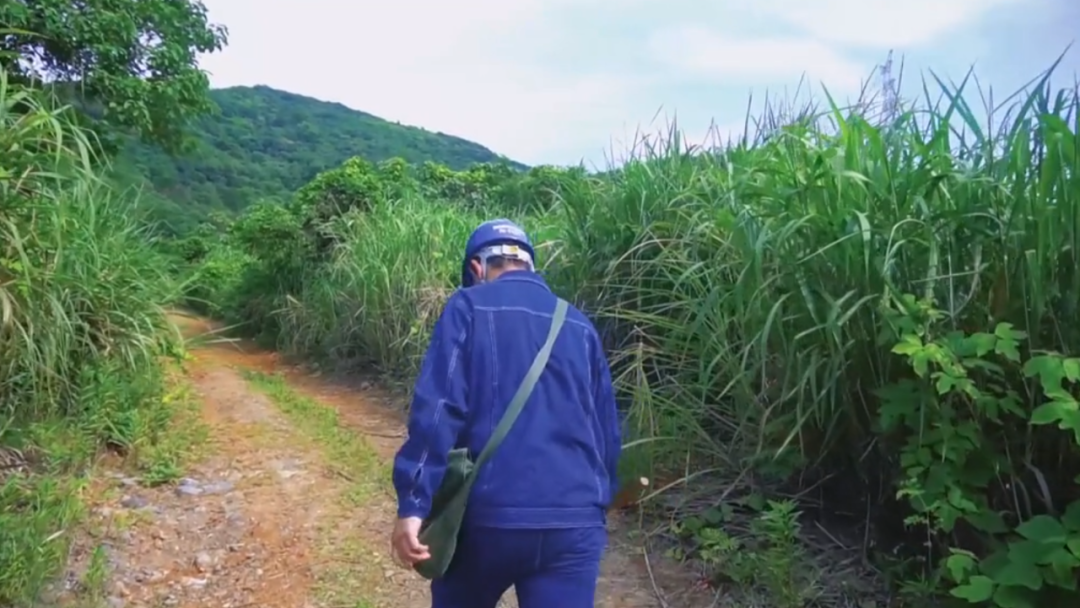
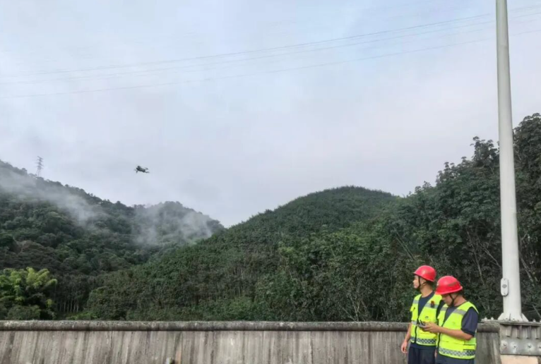
Low efficiency, incomplete coverage: lines cross vast distances — shield terrain, mountain passes, and river valleys. Manual patrols may cover only a handful of structures per day; sightlines are easily blocked by forest or urban clutter.
High safety risks: energized equipment, climbing, and severe weather (ice, wildfire smoke, extreme cold) compound exposure. Underground tunnels and tall towers add confined-space and fall hazards.
Weak data trails: subtle defects (insulator cracks, hot joints, loose hardware) are easy to miss visually; handwritten notes and ad hoc photos rarely build a repeatable asset health record.
Labour and cost pressure: specialized inspectors are scarce; travel, climbing gear, and standby time drive up program cost.
Aerial patrols scale coverage while keeping crews out of the highest-risk positions.
What drones actually change on the grid
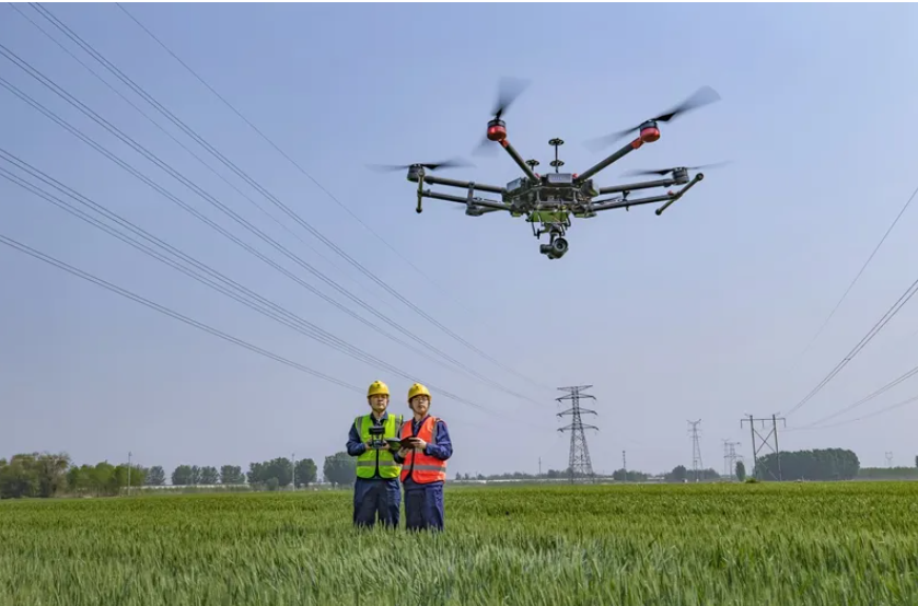
A mature program combines a capable aircraft, the right sensors, and a digital loop: aerial capture → ground control → analytics → maintenance feedback.
Replace high-risk tasks
Stand off from energized hardware and difficult terrain; reduce climbing and exposure.
Increase throughput
Cover corridors and substation yards faster than foot patrols, with repeatable flight lines.
Close the data loop
Thermal + visual evidence, tagged locations, and reports that feed work orders and trending.
From prep to sign-off: how a patrol usually runs
Before you launch
Define scope (line segment, feeder, or zone), objective (routine, maintenance, or fault), and tasks (visual defect hunt, thermography, vegetation clearance checks). Verify aircraft and batteries, plan routes around restricted airspace and high-EMI zones, and set overlap and standoff for usable imagery.
Flying the corridor
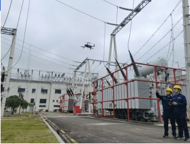
Use automated waypoint missions for corridor coverage where appropriate; switch to careful manual framing at joints, insulators, and hardware clusters. Stream visual and thermal to the ground station; tag obvious hazards in real time and capture bracketed detail shots.
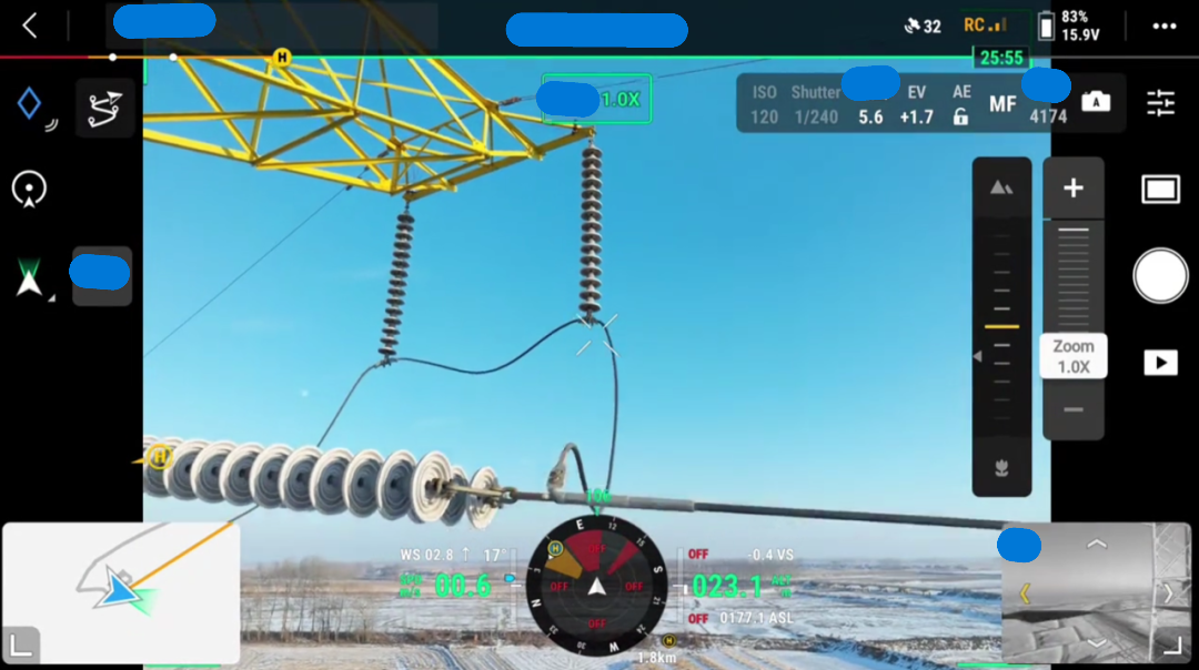
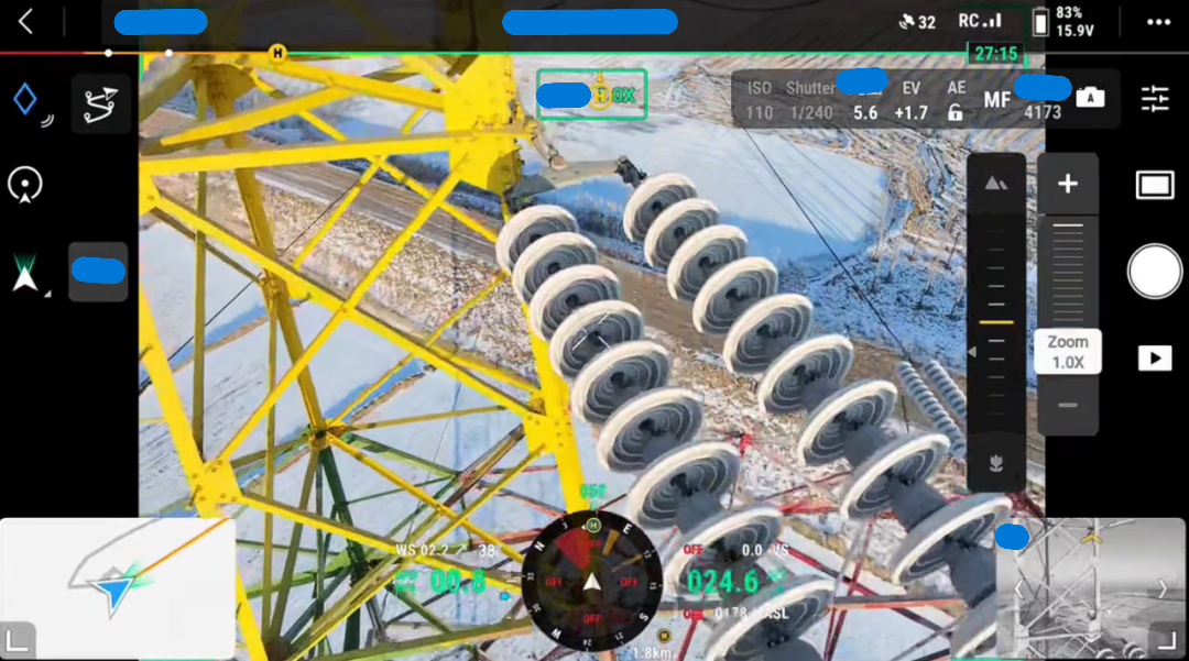
Close-range detail passes — with safe standoff — for fittings and insulators.
Waypoint missions support repeatable, comparable patrols over time.
From cards to conclusions
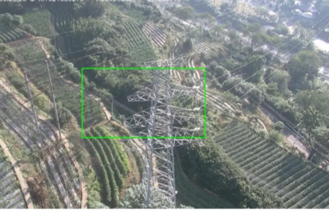
Import RGB, thermal, and (where used) LiDAR into your processing stack. AI-assisted tools can propose defects; human review confirms type, location, and severity before reports go to maintenance.
AI accelerates triage; engineering review still confirms findings for the work order.
Standardized reports connect imagery to asset IDs and priority levels.
Getting fixes in the queue
Classify findings (minor / moderate / critical), assign deadlines, and track closure. Major defects may trigger outages or dedicated crews; minor items can often be cleared on the next maintenance window.
Keeping a history you can trust
Store imagery and remediation history against asset records. Trend analysis supports predictive maintenance and smarter inspection intervals.
Closed-loop maintenance: evidence in, verified actions out, history retained.
Where crews lean on this every week
High-voltage transmission
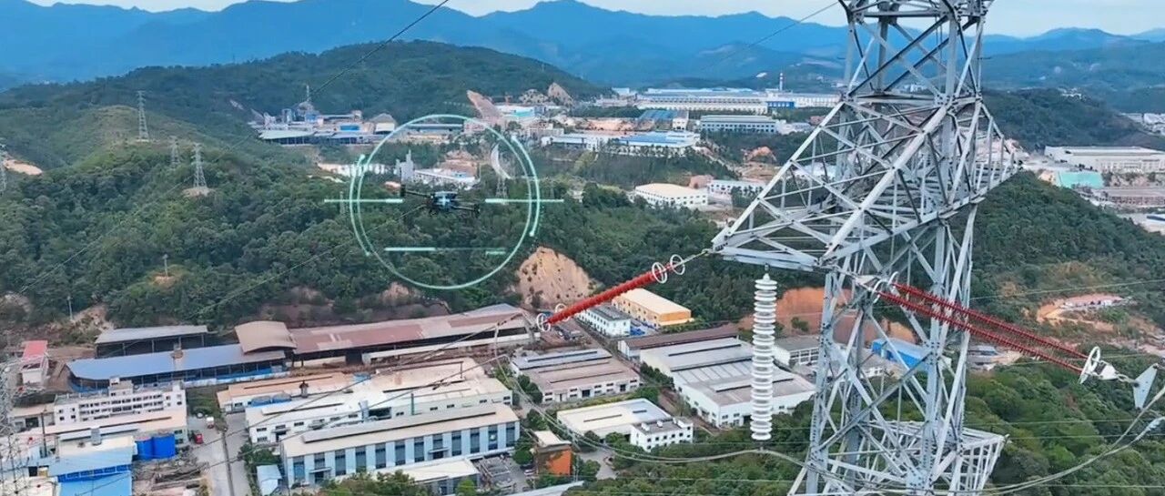
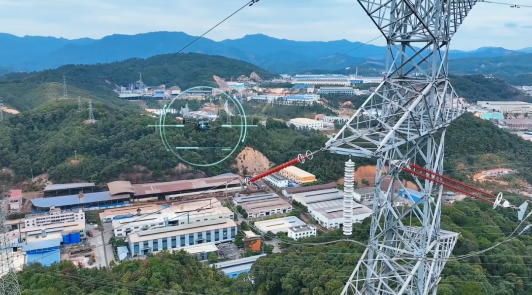
From 115 kV routes to 500 kV+ corridors, drones excel where terrain is rough. Trials such as BC Hydro mountain work (detailed tower coverage per battery) and Hydro-Québec 500 kV evaluations (longer effective radius with compact platforms) show how zoom optics reduce time on structure while maintaining safe standoff — in some cases cutting per-tower documentation time dramatically versus older methods.
Transmission patrols: zoom captures nameplates and hardware without unnecessary proximity.
Distribution and tight urban feeders
Distribution networks are dense and irregular. In older urban fabric and suburbs, poles sit close to buildings and vegetation — travel time dominates the day. Long-range or bonded datalink options can reduce repositioning; published utility trials have reported major gains in poles inspected per day when crews stay at one launch point and work the feeder systematically.
Distribution feeders: coverage where ladders and lifts are slow or obstructed.
Pad gear and enclosures: bushings, leaks, and connection issues without opening yards.
Vegetation, thermal, and night callouts
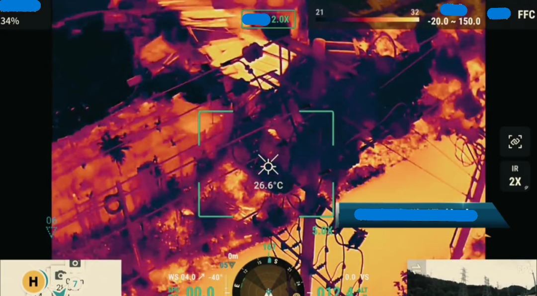
Corridor modelling supports vegetation management; thermal payloads locate hot spots at joints and clamps faster than spot handheld guns alone. For night or post-storm response, lighting plus thermal/visual combos can locate damage and guide repair crews with less guesswork.
Thermal: prioritize repairs by severity and trend, not guesswork.
Hardware and software that match the job
Hardware
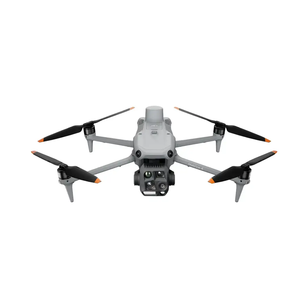
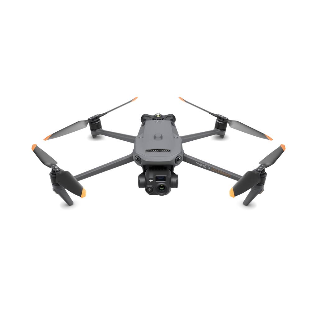
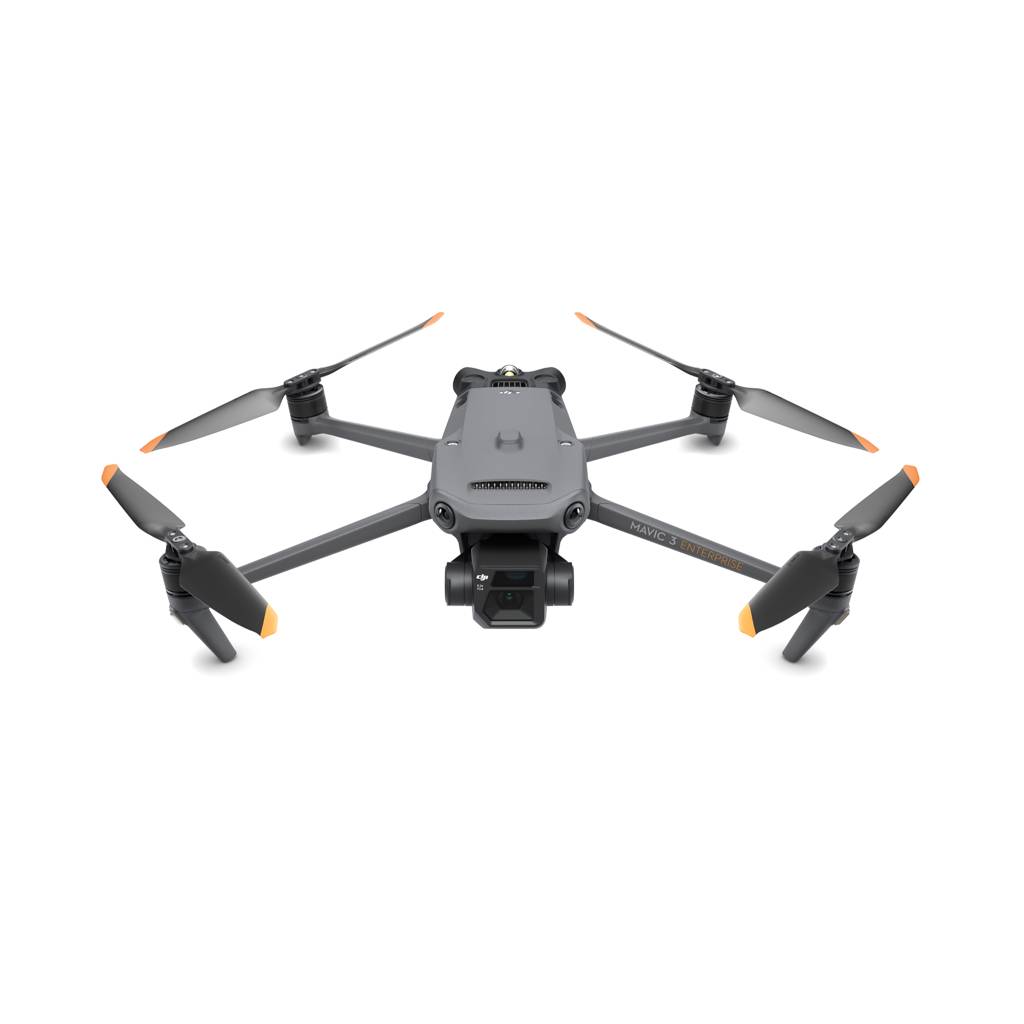
Compact enterprise aircraft with strong wind margins, EMI-aware operation, and 30–40+ minute sorties.
Payloads matched to task: high-resolution zoom RGB, radiometric thermal, and LiDAR for clearance / modelling where required.
Ground kits: batteries, charging, controllers, and optional bonded / cellular links for BVLOS-style workflows where regulations allow.
Software
Mission planning and automated flight with precision hover for repeatable shots.
Data platforms for report generation, defect tags, and asset-linked history.
AI-assisted defect screening — with human sign-off for maintenance decisions.
AI, fleets, and predictive maintenance
Programs increasingly combine assisted defect detection, multi-aircraft operations for large corridors, and trending analytics — so inspection shifts from reactive repairs toward prevention. Accuracy targets vary by dataset and model; the operational win is usually faster triage and better prioritization, not removing human review for critical assets.
Equipment SkyFlow supplies for line and substation work
We help Canadian utilities and contractors choose aircraft, payloads, and training aligned to your voltage class, datalink needs, and SOPs.
No — drones reduce unnecessary exposure and speed evidence collection. Some tasks still require qualified linework where regulations and engineering require it.
What about EMI near high-voltage lines?
Operators follow manufacturer guidance and utility SOPs for standoff, flight modes, and interference mitigation. Training and pre-flight checks matter as much as hardware choice.
Planning a utility or contractor inspection program?
Tell us your voltage class, typical corridor length, and whether you need thermal, zoom, or mapping payloads — we'll propose hardware, spare kits, and training.