

Relative accuracy (RMSE)
Absolute accuracy (RMSE)
Point rate
Weight incl. battery
Engineering-grade capture, built for real-world conditions.
Measurement accuracy within 1 cm
Engineering-grade relative accuracy of 1 cm RMSE with 2 cm repeatability, so dimensions for walls, openings, and clearances hold up in CAD and BIM.
Point cloud as thin as 1 cm
Post-processed point cloud thickness of 1 cm or less means clean structure, sharp boundaries, and far less noise to clean up downstream.
Built-in RTK
An integrated GNSS RTK module delivers 3 cm real-time absolute accuracy in both horizontal and elevation — no ground control points or external receiver needed.
True-to-life color, live
A three-camera vision array colorizes the point cloud in real time as you walk, ready for immediate measurement, validation, and sharing.
Point clouds, true to life.
The K2 holds 1 cm relative accuracy and 3 cm absolute accuracy (RMSE) with a post-processed point cloud thickness of 1 cm or less — measurement-ready data that drops straight into surveying, BIM, and digital-twin workflows without additional correction.
360° coverage, close range to 100 m.
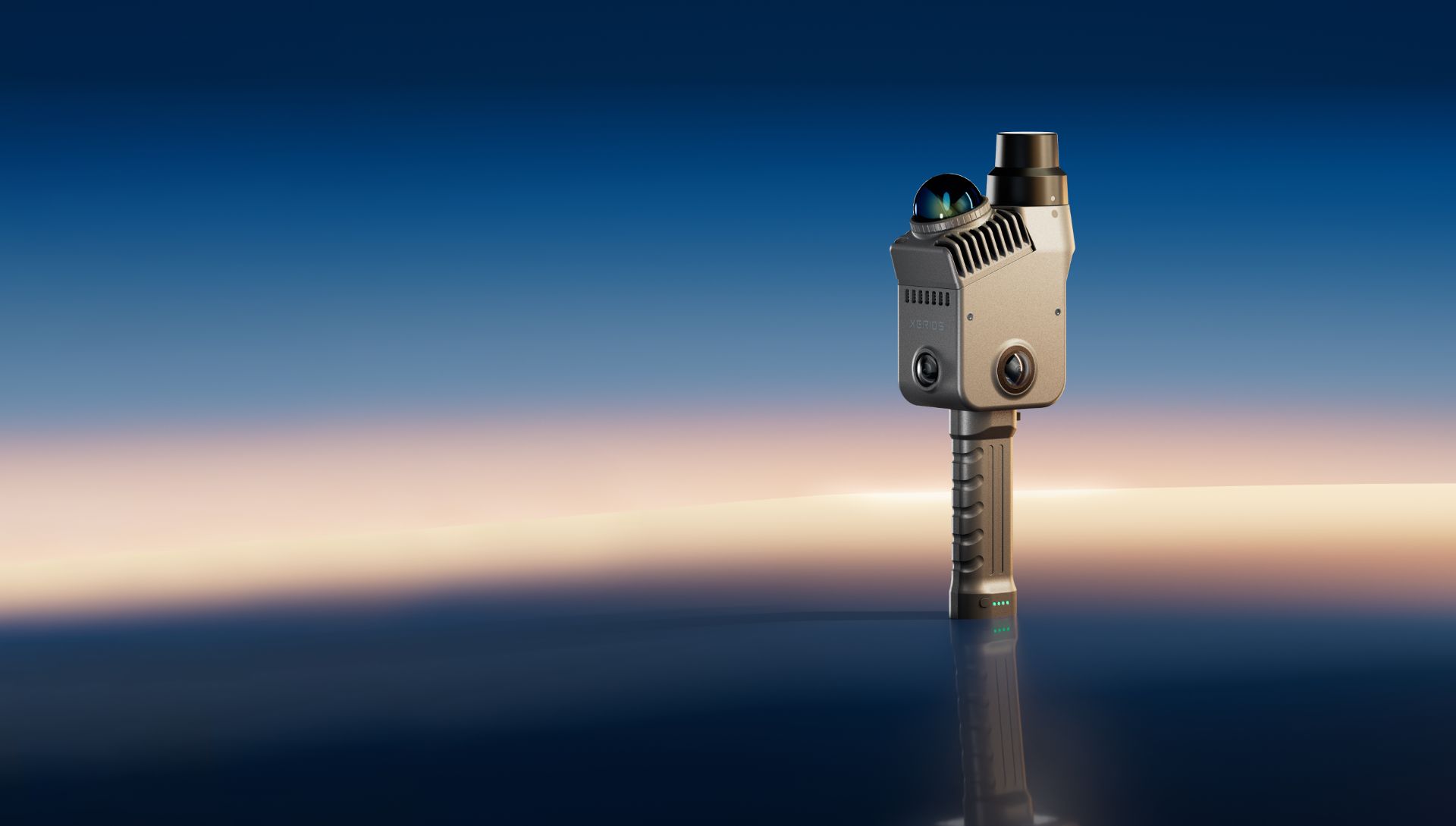
The obliquely mounted Class 1 LiDAR sweeps a 360° × -7° to +52° field of view at 200,000 points per second, capturing tight interiors, facades, and open sites — including seamless close-range and ground coverage.
Point rate
Range (≥40 m @ 10% reflectivity)
Field of view
Laser class
Three cameras. Every detail of the scene.
Three-camera array
Two fisheye cameras cover a 200° × 200° panoramic field of view, and a dedicated forward-facing camera adds a 100° × 85° view of the capture direction.
4000 × 3000 on 1/2" CMOS
Each of the three sensors resolves 12 MP on a 1/2-inch CMOS, feeding colorization and visual detail into every scan.
Visual-aided positioning
The forward camera drives visual odometry alongside LiDAR SLAM, holding tracking in featureless or repetitive spaces where LiDAR alone can drift.
Survey-grade positioning, out of the box.
The integrated GNSS RTK receiver georeferences your scan in real time — 3 cm absolute accuracy in horizontal and elevation without ground control points, post-processing, or external hardware. WGS84 and CGCS2000 coordinate systems are supported.
Point cloud, mesh, and 3D Gaussian Splatting.
A single walk-through outputs engineering point clouds through LixelStudio 4.0 and photorealistic 3DGS scenes through Lixel CyberColor — with point cloud enhancement using 3DGS-derived geometry to fill gaps in the raw scan.
Capture
Walk the site with the K2 in hand. Multi-SLAM fuses LiDAR, vision, and RTK live, and the colorized point cloud builds on your phone screen as you go.
Process
LixelStudio 4.0 post-processes the scan to engineering-grade point clouds. Lixel CyberColor turns the same capture into a 3D Gaussian Splatting scene.
Deliver
Export .las point clouds and .jpg imagery straight into surveying, BIM, and digital-twin workflows — plus mesh and 3DGS deliverables from a single scan.
Built for the field.
At roughly 1.2 kg with clip-on swappable batteries, 512 GB of internal storage, and a rugged housing rated for real job sites, the K2 goes wherever the work is.
With battery and base
Per clip-on battery
Internal eMMC storage
2.4 GHz & 5 GHz
Lixel K2 specs.
Hardware
- Weight (incl. battery and base)
- Approx. 1,200 g
- Power input
- 14.4 V
- Power consumption
- < 20 W
- Battery
- 1,900 mAh, approx. 1.5 h per pack (clip-on, swappable)
- Internal storage
- eMMC 512 GB
- Data interface
- USB 3.1 Gen2
- RTK module
- Supported (built-in)
- Wi-Fi
- IEEE 802.11a/b/g/n/ac, 2.4 GHz & 5 GHz
LiDAR module
- Laser class
- Class 1 / 905 nm
- Scan range
- ≥ 40 m @ 10% reflectivity; 100 m maximum
- Field of view
- 360° × -7° to +52°
- Scan mode
- Mobile
- Point rate
- 200,000 pts/s
Vision module
- Camera count
- 3 (2× fisheye, 1× forward-facing)
- Panoramic field of view
- 200° × 200°
- Forward camera field of view
- 100° × 85°
- Camera resolution
- 4000 × 3000
- CMOS sensor size
- 1/2"
- Shutter type
- Rolling shutter
Functions
- Visual-aided positioning
- Supported
- Real-time colorized point cloud
- Supported
- Point cloud enhancement
- Supported
- 3D Gaussian Splatting (3DGS)
- Supported via Lixel CyberColor
Output formats
- Point cloud
- .las
- Image
- .jpg
Accuracy
- Absolute accuracy, elevation (RMSE)
- 3 cm
- Absolute accuracy, horizontal (RMSE)
- 3 cm
- Relative accuracy (RMSE)
- 1 cm
- Repeatability
- 2 cm
- Post-processed point cloud thickness
- ≤ 1 cm
- Real-time absolute accuracy, elevation (RMSE)
- 3 cm
- Real-time absolute accuracy, horizontal (RMSE)
- 3 cm
Weight includes battery and base and excludes other accessories. Absolute and real-time accuracy figures measured under open sky with no multipath interference, optimal GNSS geometry, and favorable atmospheric conditions. Relative accuracy is point-to-point distance within 10 m under laboratory conditions; actual performance may vary. RTK supports WGS84 and CGCS2000 only. Confirm current specifications with official XGRIDS documentation.